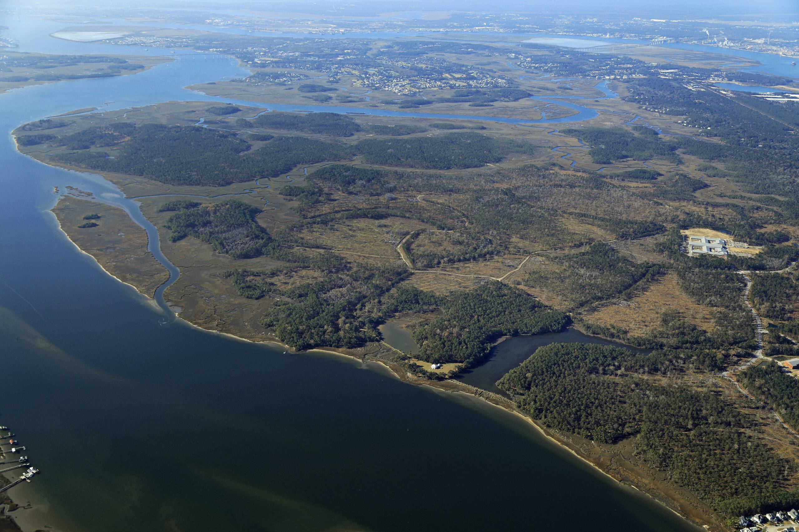
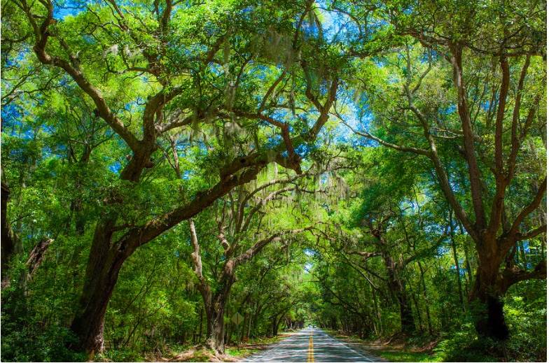
OVERVIEW About 20 miles from the historic heart of Charleston lies another significant peninsula—low lying, flood-prone, and steeped in history: Cainhoy. This 9,000-acre property—twice the land area of the Charleston Peninsula—is one of the largest and most ecologically sensitive undeveloped
Highway 462 and a Jasper County growth analysis With Development Imminent, Jasper County Residents Can Still Shape the Future of the Hwy. 462 Corridor. Jasper County is currently experiencing rapid growth, with places like the Highway 462 corridor at risk.
The I-526 Mark Clark Extension project is officially no more. The S.C. Transportation Infrastructure Bank Board voted unanimously May 2025 to end the three-way funding contract. This is one of the final pieces to affirm the end of this destructive
In Horry County: Fix it First, Don’t Make it Worse
UPDATE: Coastal Conservation League will continue raising concerns about destructive new highways in Horry County The passing of the Horry County Special Sales and Use Tax means that rural western Horry and Georgetown counties will be opened to sprawling development,
The almost 6,000-acre Chelsea property sold in 2019 for $30 million dollars to two brothers who pledged to manage the land as a hunting estate. Since then, the land transferred to a Missouri-based bank and has been shopped around to
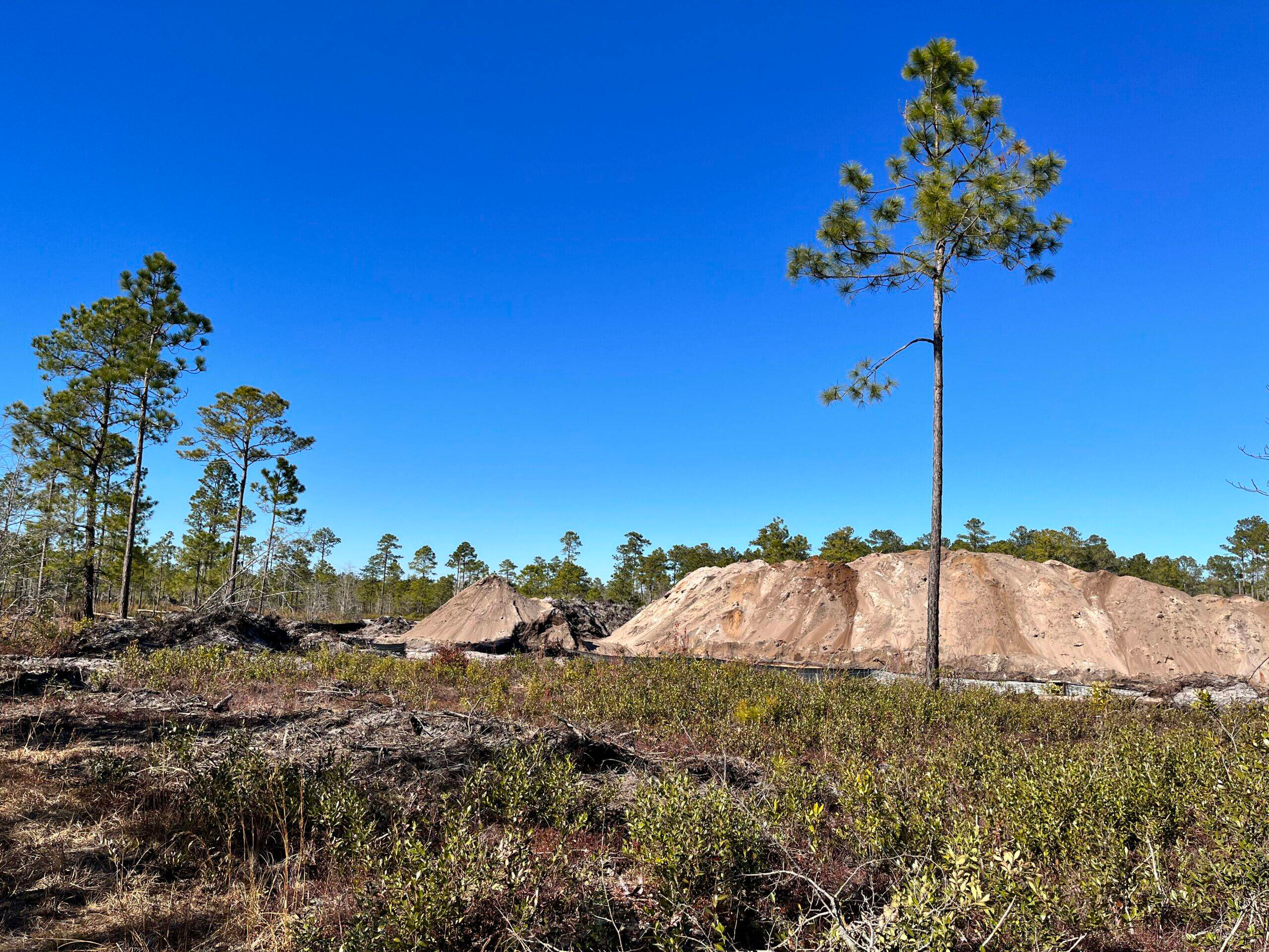
Mining should not be allowed next to a heritage preserve. UPDATE: Coastal Conservation League requests review of Edge Road Mine permitting decision On June 20, 2023, the South Carolina Department of Health and Environmental Control approved a permit application to
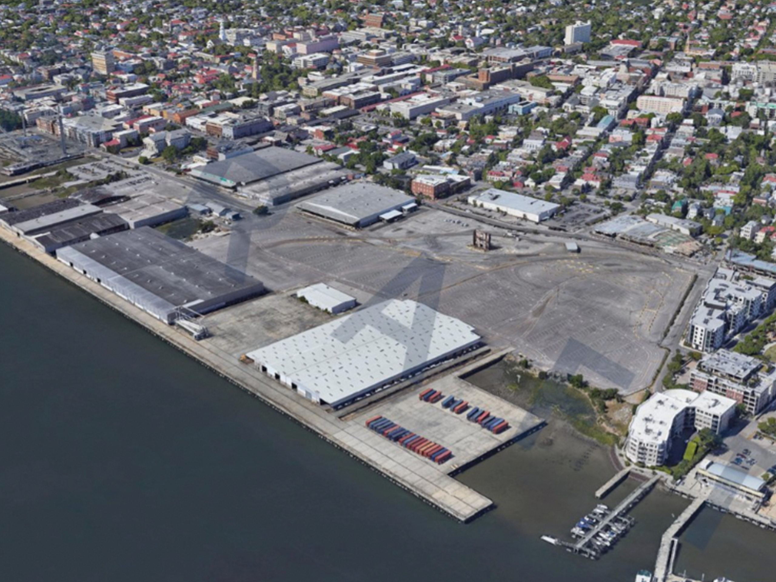
Union Pier is a roughly 65-acre waterfront site downtown Charleston. It’s owned by the South Carolina Ports Authority, and has been used for shipping, port operations, and a cruise terminal. The Ports Authority ended its homeport contract with Carnival Cruise
Dorchester County is currently experiencing a period of unprecedented industrial growth, much of it located along U.S. 78 near Jedburg and Ridgeville. The largest and most well-known example is the 1,030 acre Ridgeville Industrial Campus, where Walmart is currently constructing
The Berkeley Charleston Tradeport is an industrial warehouse complex off Jedburg Road in the New Hope community. The facility will ultimately include ten massive warehouses that will total 4.9 million square feet of buildings in addition to extensive paved roads
In August of 2022, Berkeley County Council unanimously passed third and final reading of an ordinance to reauthorize the penny sales tax that has been in place since 2008 to help fund roadway and infrastructure projects throughout the county. This
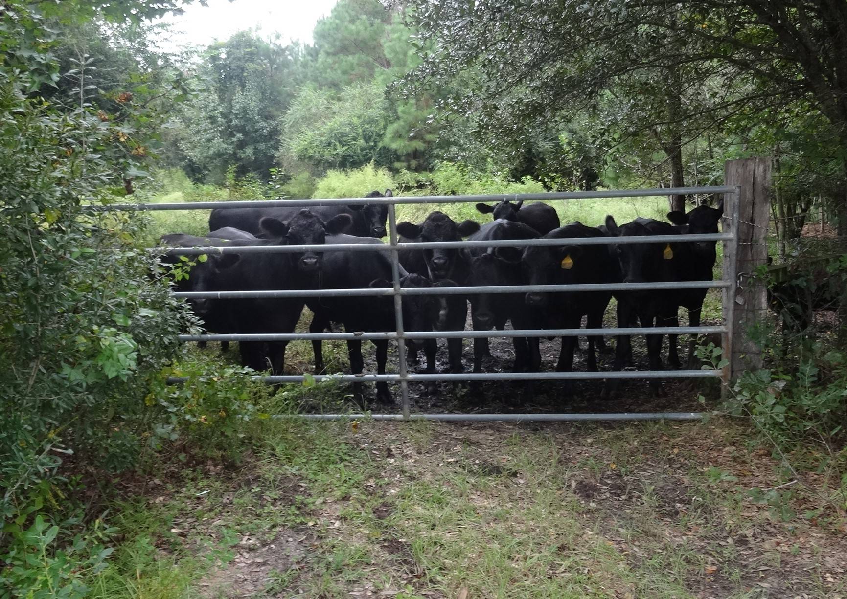
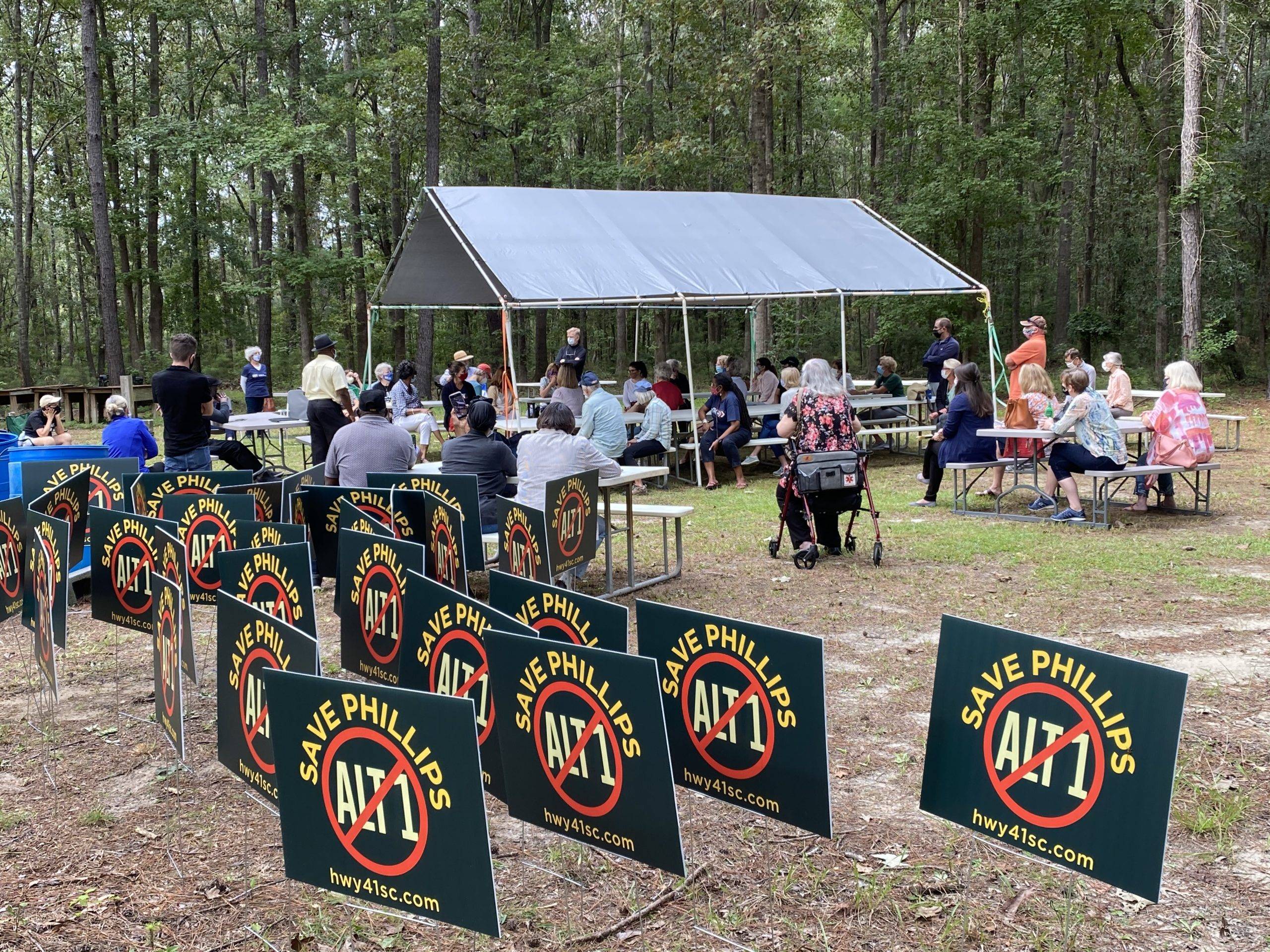
Highway 41 in Charleston County is currently a two-lane road extending between the intersection of US 17 in Mount Pleasant to the Wando River bridge. A recent Compromise Alternative for Highway 41 seeks to limit impacts to both nature and
Get Involved In response to the proposals presented by the County in 2020, a group of Johns Island residents formed a grassroots coalition of community members committed to improving roads around the Main Road Corridor while also protecting the very